


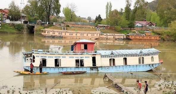
Sustained downpours across Kashmir on Thursday drove water levels in the River Jhelum steadily upward, with the Irrigation and Flood Control Department recording consistent rising trends at the majority of its gauge stations.
Weather monitors have warned that if the current precipitation continues, the river is projected to breach the Flood Declaration Mark at the Sangam and Ram Munshi Bagh monitoring points within the next six to eight hours.
As per the noon gauge readings, the Jhelum was recorded at 18.09 feet at Sangam, below the critical threshold of 21 feet, while at Pampore it stood at 3.87 meters against the 4.5-meter mark.
In Srinagar, the level at Ram Munshi Bagh reached 15.40 feet, still under the 18-foot danger mark, and at Asham it registered 8.79 feet compared to the 14-foot benchmark. All these locations showed a marked upward trajectory. Similarly, the Wullar Lake witnessed a swelling trend, with its surface elevation recorded at 1,575.64 meters.Natural Disasters
Regarding the feeder streams, the Vishow Nallah at Khudwani measured 7.12 meters, narrowly staying below its 7.75-meter flood declaration threshold. The Lidder Nallah at Batkoot inched up to 1.47 meters, just shy of its 1.5-meter mark. While the Rambiyara Nallah at Wachi also recorded an increase, the Doodhganga at Barzulla displayed a receding pattern and the Sindh Nallah at Doderhama held steady.
In an 11:30 am advisory, Kashmir Weather noted that heavy rainfall was persisting over parts of south Kashmir and was expected to keep hammering these areas for a few more hours. The agency reiterated that the Jhelum at Sangam and Ram Munshi Bagh could potentially touch the danger threshold within the 6-to-8-hour window.
Additionally, the Lidder and Vishow rivers are forecast to continue their upward surge due to intensified rainfall in their respective catchment zones.
Authorities have strongly urged residents in low-lying and flood-prone areas to stay vigilant, keep a close eye on the evolving scenario, and initiate precautionary safety measures should the situation deteriorate further.
The India Meteorological Department had already issued a Red Warning for the region, attributing the extreme weather to the convergence of the monsoon currents with a western disturbance.
